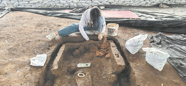

Long before the first excavation began, archaeologists were presented with a challenge: how to understand the vast site without causing damage?
The team employed advanced technology to see what the naked eye could not. As a novel application, they used a phase-controlled acoustic wave method — essentially giving the ground a sonogram — to map subsurface structures over the area without damaging it. The resulting data guided shovels to high-probability targets, leading to the efficient discovery of the walls and moats.
"This acoustic, non-destructive exploration technology allows us to understand the accumulation of cultural layers and the information of important remains on the premise of causing no damage, "says Li Yongjun, head of the archaeology department at the Wuxi Cultural Relics and Archaeology Institute.
Over nearly a month, engineers surveyed more than 100,000 sq m, laying down 118 survey lines and gathering terabytes of data. The results produced a colorful map of the underground: red markers indicated high-frequency anomalies, hinting at the potential locations of houses and rammed-earth platforms, while blue markers suggested lower-density areas, possibly ancient rivers or ponds.